What changed on 1 July
Géorisques reports that the retrait-gonflement des argiles, or clay shrink–swell, exposure map was updated in January 2026. From 1 July, the new zoning applies to preliminary and final sales of undeveloped building plots and individual house-building contracts falling within the relevant rules.
For an existing villa, start with the risk documents and building history. The notary establishes the sale’s legal requirements; a technical specialist assesses whether the foundations and soil need investigation. Mandatory studies for land sales or construction apply within their defined legal scope.
Why it matters on the Riviera
Clay changes volume as its moisture content changes. Uneven ground movement can damage buildings. A specific villa’s exposure depends on the ground, foundations, slope, drainage, trees, extensions and repair history. The municipality’s name alone cannot determine a plot’s risk.
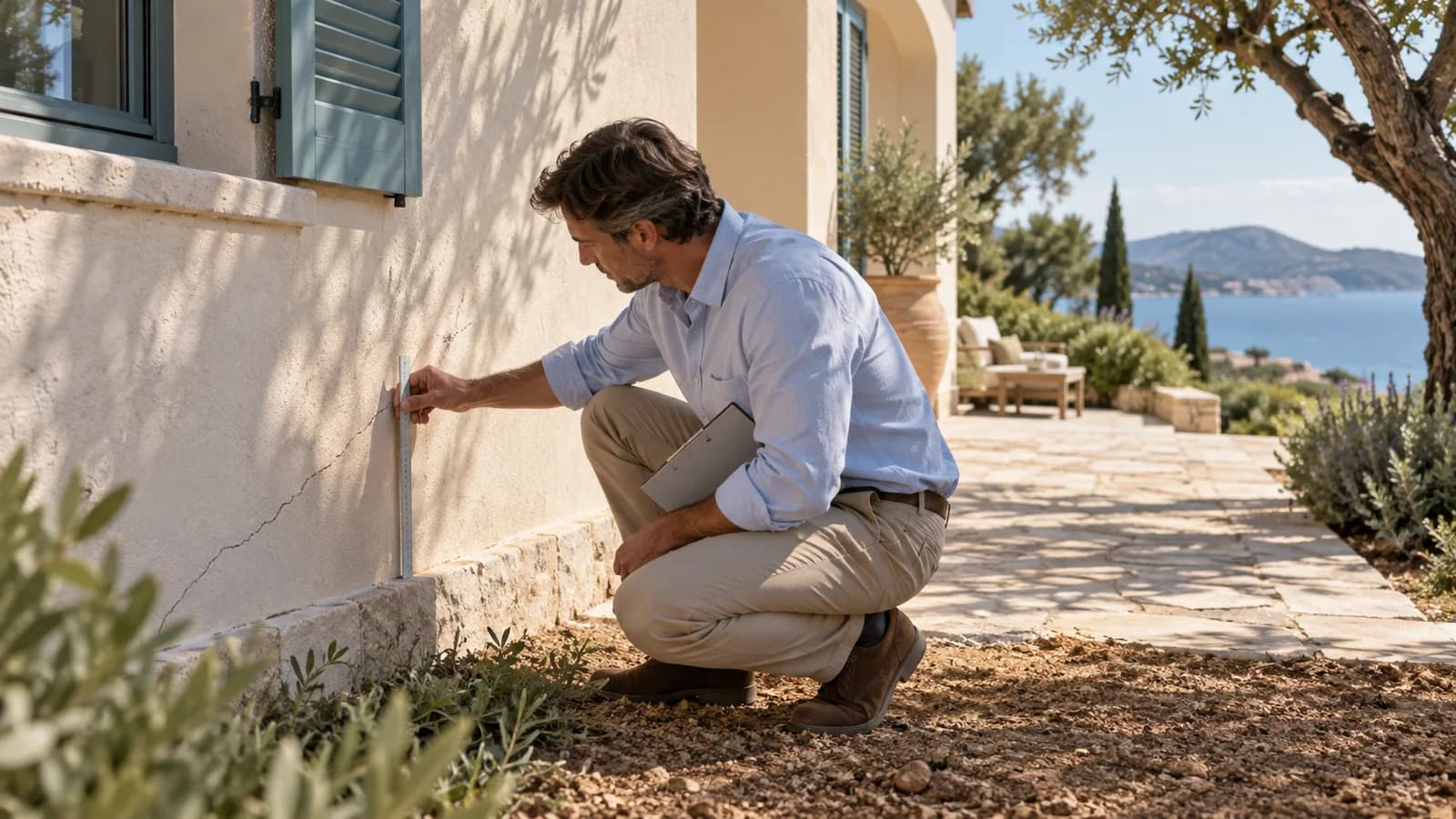
The map shows the area’s exposure to movement in clay soils. The villa’s condition is established through inspection: the pattern and progression of cracks and their possible connection to the foundations matter. Homes within the same zone can have different structures and damage histories.
Four checks
| Step | Documents or inspection |
|---|---|
| Plot | Address and cadastral location, current Géorisques map and other natural hazards |
| Building history | Construction date, extensions, soil studies, earlier expert reports and repairs |
| Present condition | Cracks, distortion, doors and windows, drainage, terraces and retaining walls |
| Insurance | Reported claims, assessments, settlements, completed repairs and proposed future cover |
A crack alone does not establish its cause. Ask an independent specialist whether a structural assessment or soil investigation is needed. A seller’s verbal explanation is insufficient where repairs may conceal earlier damage.
Land purchases and extensions
Relevant medium- and high-exposure areas trigger geotechnical requirements. Match the contract, date, land use and existing study with the notaire and designer. A study supporting a land sale and one supporting a specific building design serve different purposes.
When planning to extend an existing villa, assess more than allowable floor area. The addition can load the ground differently and interact with the original structure. A budget requires a technical solution, not a conclusion based on map colour.
Insurance terms to check
Being in a risk zone does not automatically establish an entitlement to compensation. Recognition of the event, causation, contractual cover and the actual damage are separate issues. Before purchase, give the insurer an accurate property history and check future cover.
Retain correspondence, technical reports, past claims information and evidence of repairs. Together with the legal purchase file, these help distinguish established defects from matters still requiring investigation.
This article is neither a geotechnical assessment nor confirmation of insurance cover. Purchase decisions require evidence about the specific plot and building.
Sources and verification date
Checked on 21 September 2026. Observation periods and limitations are identified in the article.